Explore Southwest Georgia
Historical Markers in Willis Park
& Downtown Bainbridge
| There are 48 Historic Markers in Decatur County.
Also see Historical Markers in |
Historical Markers in
Decatur County
- Amsterdam, Attapulgus
- Fullers Earth, Battle of 1702
- Army Air Field, Brinson
- Camp Recovery, Fort Scott
- Munnerlyn, Ira Sanborn
- Climax, Village of Fowltown
- Gragg Lumber Co, Cyrene
- Shade Grown Tobacco
- Tonge Factory
|
Historical Markers in
J. D. Chason Park (Lots of History)
- The J. D. Chason Memorial Park
- The J. D. Chason Memorial Park History
- The Battle of Fowltown
- First Seminole War Trail
- The First Seminole War in Decatur County
- Fort Hughes
- Fort Scott
- The Second Creek War and Removal in the Decatur County Area
|
Historical Markers in Willis Park
at North Broad St (Business U.S. 27) and East Water St (30.906066 -84.57578)
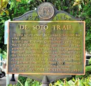
DeSoto Trail
NE corner of Willis Park
In this neighborhood Hernando de Soto and his army discovered the inland waters of the Flint river (`the River of Capachequi`) on Friday, March 5, 1540. Leaving the vicinity of the present Tallahassee, Florida, the Spaniards marched northwest, spent the first night by the Ochlockonee River (`the Guacuca`), and reached the Flint two days later at or near the present Bainbridge, where they constructed a barge or `piragua` in which to cross.
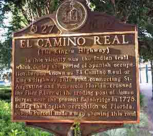
El Camino Real (The Kings Highway)
SE Corner of Willis Park
In this vicinity was the Indian trail which, during the period of Spanish occupation, became known as El Camino Real or King's Highway. This road, connecting St. Augustine and Pensacola, Florida, crossed the Flint River at the trading post of James Burges, near the present Bainbridge. In 1778, during the English occupation of Florida, Joseph Purcell made a map showing this road.
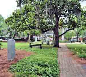
In Memory of Revolutionary Soldiers Who Settled and Died in Decatur County
Joel Darcy
Private - Capt. Bickham's Company, Militia of Burke Co., GA, Commanded by Col. Asa Emanuel
Thomas Fain
Private - N. Carolina Line, Fought in Battle of King's Mt
Jacob Harrell
Private - N. Carolina Line
Zoath Spooner
Private - Mass. Capt. Daniel Drake's Co. - Col. Drury's Regiment Bristol Co.
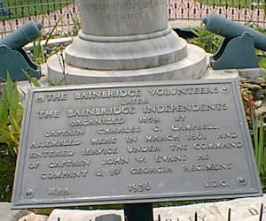
The Bainbridge Volunteers
Later
The Bainbridge Independents
Organized 1859, by Captain Charles G. Campbell, assembled here in March 1861 and entered service under the command of Captain John W. Evans as company G, 1st Georgia Regiment.
Historical Markers around Bainbridge Georgia
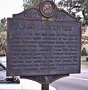
Camp Recovery
NE intersection Shotwell & South Broad Streets, Bainbridge (30.9041 -84.57553)
On the east side of Flint River, twenty-one miles southwest is the site of Camp Recovery, established during the First Seminole Indian War as a hospital base to which the sick soldiers from Fort Scott were sent to recover. A Federal Monument on the site marks the burial place of U.S. officers and soldiers who died during the hostilities in the Flint and Chattahoochee River Counties 1817-1821.
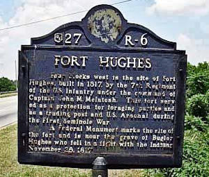
Fort Hughes
East edge of river bridge, Bainbridge (30.909716 -84.5776)
Four blocks west is the site of Fort Hughes, built in 1817, by the 7th Regiment of the U.S. Infantry under the command of Captain John M. McIntosh. This fort served as a protection for foraging parties and as a trading post and U.S. Arsenal during the First Seminole War.
A Federal Monument marks the site of the fort and is near the grave of Bugler Hughes who fell in a fight with the Indians November 28, 1817.
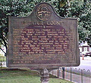
Decatur County
At the Courthouse, Bainbridge (30.9066 -84.57658)
Decatur County was created by Act of Dec. 8, 1823 from Early County. Sessions were cut off later to form part of Seminole and Grady Counties. It was named for Stephen Decatur (1779-1820), naval officer who served with great gallantry at Tripoli and in the War of 1812. In 1815, he commanded the expedition against the Dey of Algiers, forcing the Dey to renounce claims to tribute from the U.S. First County Officers, commissioned May 5, Corner: R.B. Douglas, Surveyor: Daniel O'Neel, Clerk Superior Court, Daniel O'Neel was commissioned Clerk of Inferior Court, also, on June 11, 1824.
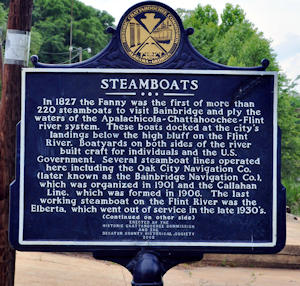
Steamboats
Cheney Griffin Park, Bainbridge, (30.906183 -84.57601)
(side 1) In 1827 the Fanny was the first of more than 220 steamboats to visit Bainbridge and ply the waters of the Apalachicola-Chattahoochee-Flint river system. These boats docked at the city's landings below the high bluff on the Flint River. Boatyards on both sides of the river built craft for individuals and the U.S. Government. Several steamboat lines operated here including the Oak City Navigation Co. (later known as the Bainbridge Navigation Co.), which was organized in 1901 and the Callahan Line, which was formed in 1906. The last working steamboat on the Flint River was the Elberta, which went out of service in the late 1930's
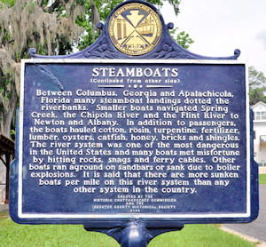
continued on side 2
Between Columbus, Georgia and Apalachicola, Florida many steamboat landings dotted the riverbanks. Smaller boats navigated Spring Creek, the Chipola River and the Flint River to Newton and Albany. In addition to passengers, the boats hauled cotton, rosin, turpentine, fertilizer, lumber, oysters, catfish, honey, brick and shingles. The river system was one of the most dangerous in the United States and many boats met misfortune by hitting rocks, snags and ferry cables. Other boats ran aground on sandbars or sank due to boiler explosions. It is said that there are more sunken boats per mile on this river system than any other system in the country.
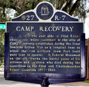
Camp Recovery
Located at the intersection Shotwell and South Broad Streets, Bainbridge (30.90407778, -84.57555278)
On the east side of Flint River, twenty-one miles southwest is the site of Camp Recovery, established during the First Seminole Indian War as a hospital base to which the sick soldiers from Fort Scott were sent to recover. A Federal Monument on the site marks the burial place of U.S. officers and soldiers who died during the hostilities in the Flint and Chattahoochee River Counties 1817-1821.
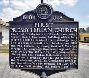
First Presbyterian Church
West and Troupe Streets, Bainbridge (30.905133 -84.57656)
The First Presbyterian Church once stood here. It was a handsome building with a lofty ceiling vestibule and three sided gallery. The lot was one-half acre in size, cost $110 and was bounded by Troup, West and Crawford Streets. The congregation was large ans also wealthy. During 1861-1865 daily prayers were offered and the pastor, Col. James F. Dunlop, organized a company that fought valiantly in the Confederate Army. The Church was burned to the ground on Sunday morning Sept. 20, 1874 with the bell tolling the funeral knell.
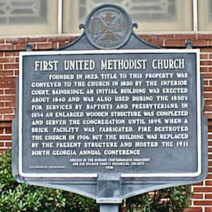
First United Methodist Church
300 West Shotwell St, Bainbridge
(30.904116 -84.5784
Founded in 1823, title to this property was conveyed to the church in 1830 by the Inferior Court, Bainbridge. An initial building was erected about 1840 and was also used during the 1850's for services by Baptists and Presbyterians. In 1854 an enlarged wooden structure was completed and served the congregation until 1899, when a brick facility was fabricated. Fire destroyed the church in 1906, but the building was replaced by the present structure and hosted the 1911 South Georgia annual conference.
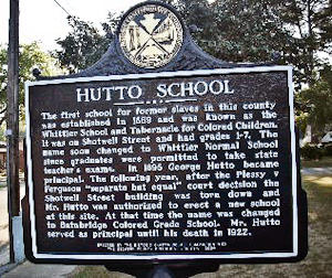
Hutto School
In front of the Hutto Middle School on Martin Luther King Jr. Drive, Bainbridge, (30.90825 -84.55993333)
(Side 1)The first school for former slaves in this county was established in 1869 and was known as the Whittier School and Tabernacle for Colored Children. It was on Shotwell Street and had grades 1-7. The name soon changed to Whittier Normal School since graduates were permitted to take state teacher's exams. In 1985 George Hutto became principal. The following year, after the Plessy Vs Ferguson "separate but equal" court decision the Shotwell Street building was torn down and Mr. Hutto was authorized to erect a new school at this site. At that time the name was changed to Bainbridge Colored Grade School. Mr. Hutto served as principal until his death in 1922.
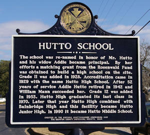
(Side 2) The school was re-named in honor of Mr. Hutto and his widow Addie became principal. By her efforts a matching grant from the Rosenwald Fund was obtained to build a high school on the site. Grade 11 was added in 1928. Accreditation came in 1929 with the name Hutto High School. After 52 years of service Addie Hutto retired in 1942 and William Mann succeeded her. Grade 12 was added in 1953. Hutto High graduated its last class in 1970. Later that year Hutto High combined with Bainbridge High and this facility became Hutto Junior High. In 1990 it became Hutto Middle School.
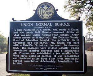
Union Normal School
on the grounds of Hutto Middle School MLK Jr Blvd. Bainbridge, (30.9083 -84.55808333)
In 1927, Professor H.S. Dixon, Mrs. Marie H. Dixon and Mrs. Aurie Bell Flowers assumed duties at what was now Union Normal High School. After school closure on 31 May 1952, the Decatur County Board of Education bought the property on 13 November 1954 for $8,000. Mr. Dixon was paid with a 100 x 300 ft. lot on the east. In January 1955, the proceeds were divided equally among Association member churches and a Scholarship Aid Program was established a few months later. With forty years of success, it was reorganized and chartered as First Flint River Missionary Baptist Association Scholarship Foundation, Inc. in 1990.
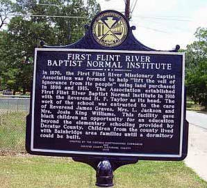
First Flint River Baptist Normal Institute
on the grounds of Hutto Middle School MLK Jr Blvd. Bainbridge, (30.9083 -84.55808333)
In 1876, the First Flint River Missionary Baptist Association was formed to help "lift the veil of ignorance from its people" using land purchased in 1896 and 1915. The Association established First Flint River Baptist Normal Institute in 1918 with the Reverend H.F. Taylor as its head. The work of the school was entrusted to the care of Reverend James Graves, Mrs. L. Jackson and Mrs. Josie King Williams. This facility gave black children an opportunity for an education beyond the elementary schooling provided by Decatur County. Children from the county lived with Bainbridge area families until a dormitory could be built.
Also See
Historical Markers in Decatur County
Historical Markers in Chason Park
Information from Latitude 34 North,
GA Deptof Community Affairs and
galileo.usg.edu


 continued on side 2


